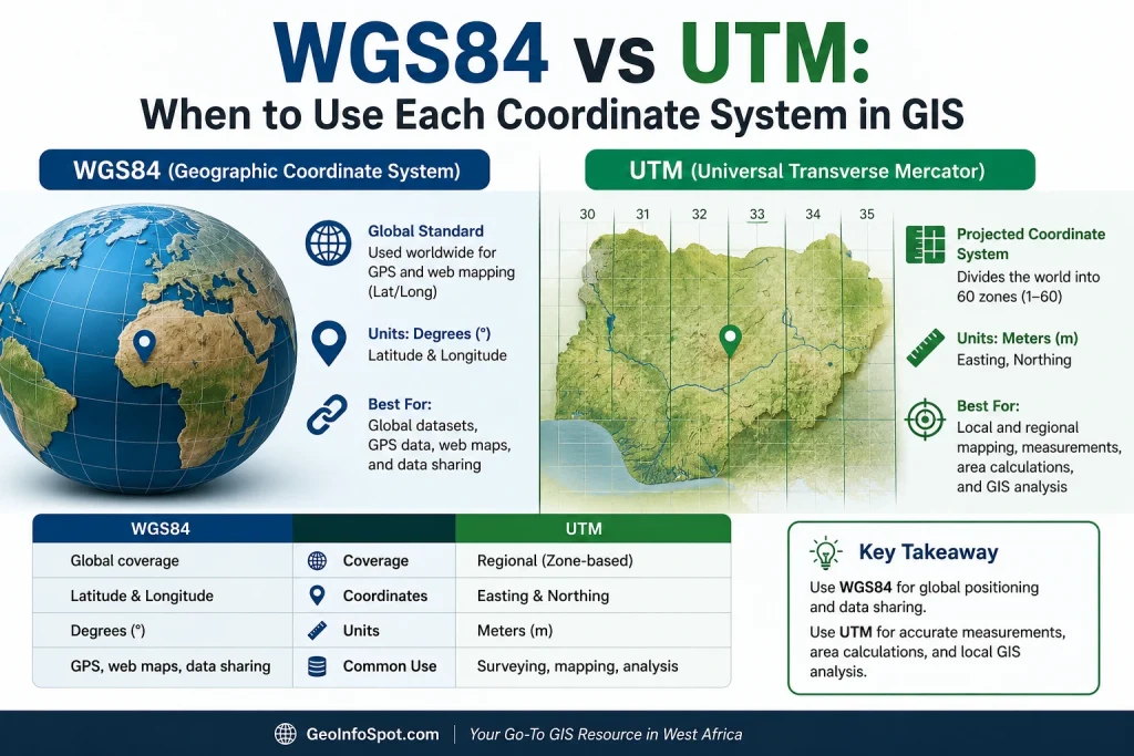
WGS84 vs UTM: When to Use Each Coordinate System in GIS
Geographic Information Systems (GIS) professionals, surveyors, cartographers, and remote sensing specialists work with coordinate systems every day. Yet, one of the most common questions among GIS beginners is: Should I use WGS84 or UTM? Choosing the wrong coordinate system can lead to inaccurate measurements, misplaced features, distorted maps, and costly project errors. Understanding the difference
WGS84 vs UTM: When to Use Each Coordinate System in GIS Read Post »