Ever wondered how emergency responders use GIS to save lives?
Welcome to the realm of Geographic Information Systems (GIS), where the art of mapping meets the science of data analysis.
Imagine being able to see the world in a new light, where the streets, buildings, and landscapes come alive with hidden patterns and stories. GIS is more than just a tool – it’s a superpower that lets us uncover the secrets of place and space. By weaving together geographic data, attribute data, and spatial analysis, GIS creates a rich tapestry of insights that can transform industries, communities, and lives.
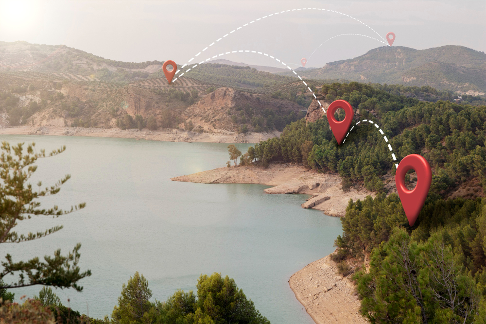
Picture a disaster response team racing against time to reach stranded survivors. With GIS, they can pinpoint the most critical areas, optimize rescue routes, and allocate resources with precision. Or, imagine a urban planner designing a sustainable city of the future, using GIS to balance population growth, energy consumption, and environmental stewardship. From the familiar streets of our hometowns to the uncharted territories of the globe, GIS helps us make sense of our world. It’s a journey of discovery, where every location holds a story, every map reveals a hidden truth, and every insight has the power to shape our future.
Some remarkable stories of how GIS is making a difference in various fields
Environmental Conservation: The Guardians of the Forest.
In the Amazon rainforest, GIS is helping conservationists track deforestation, monitor wildlife habitats, and identify areas of high conservation value. By analyzing satellite imagery and spatial data, organizations like the World Wildlife Fund can target their efforts, engage local communities, and protect the delicate balance of the ecosystem
Urban Planning: The City of Tomorrow
In Copenhagen, GIS is driving the vision for a carbon-neutral city. By analyzing population density, energy consumption, and transportation patterns, urban planners can optimize infrastructure development, reduce emissions, and create a more sustainable future for citizens.
Emergency Response: The Lifeline.
During Hurricane Harvey, GIS played a critical role in emergency response efforts. By analyzing real-time data, responders could identify areas of need, optimize rescue routes, and allocate resources effectively. This reduced response times, saved lives, and demonstrated the power of GIS in crisis situations.
By harnessing the power of location intelligence, organizations can drive positive change, make informed decisions, and create a better world.