
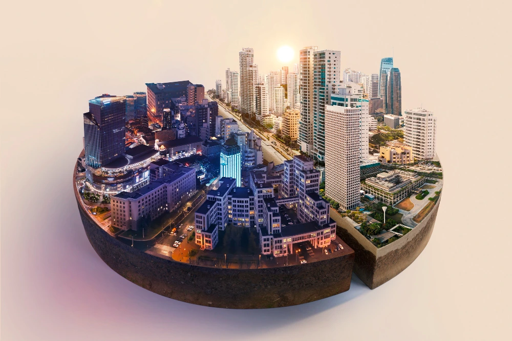
In today’s fast paced world, cities are expanding at unprecedented rates. Rapid urbanization is bringing both opportunities and challenges from the demand for affordable housing and efficient transportation to the pressing need for sustainable resource management. Population growth, traffic congestion, climate change, and rising environmental concerns make it increasingly difficult for urban planners to create cities that are not only functional but also resilient and livable.
This is where geospatial solutions are transforming the game. By integrating tools such as Geographic Information Systems (GIS), remote sensing, and location intelligence, urban planners can move beyond guesswork and rely on accurate, data-driven insights. These technologies make it possible to visualize complex city dynamics, predict future growth patterns, and design smarter infrastructure that meets the needs of citizens today while preparing for the challenges of tomorrow.
Geospatial solutions empower planners to make informed decisions that shape healthier, safer, and more sustainable urban environments turning the vision of smart cities into reality.
These solutions are powered by a range of GIS tools explore our full list and how to choose the right one for your project.
What Are Geospatial Solutions?
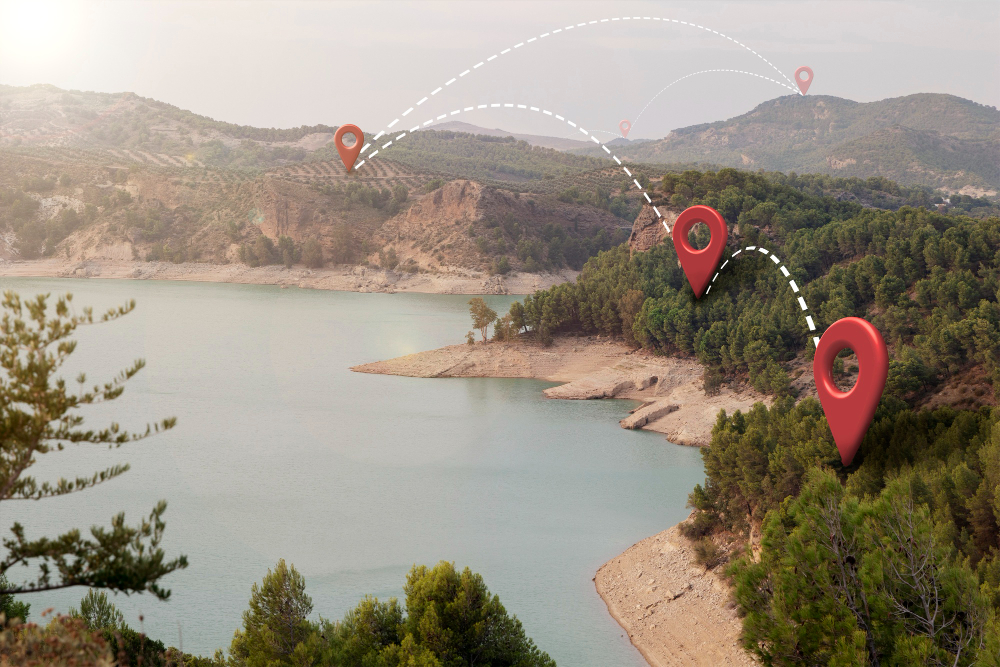
Geospatial solutions are technologies and systems that capture, analyze, and visualize location-based data. By combining tools such as Geographic Information Systems (GIS), remote sensing, and GPS mapping, they provide urban planners with the insights needed to understand complex spatial patterns.
In simple terms, geospatial solutions answer the “where” question:
- Where are people moving?
- Where are traffic bottlenecks forming?
- Where is infrastructure most needed?
The ability to see these insights on a map helps decision makers plan smarter, more efficient cities.
Why Urban Planning Needs Geospatial Solutions
Urban planning is about more than just designing buildings and roads it’s about creating communities where people can thrive. Geospatial solutions empower planners to:
- Visualize Urban Growth
With satellite imagery and GIS mapping, planners can track how cities expand over time. This helps predict where new housing, schools, or commercial centers are most needed. - Optimize Land Use
By analyzing land suitability, flood risks, and soil conditions, geospatial solutions ensure that development happens in the right places reducing costs and protecting the environment. - Improve Transportation Systems
Traffic congestion is a common urban headache. Using geospatial data, planners can map traffic flows, identify problem zones, and design smarter road networks or public transit routes. - Enhance Disaster Preparedness
From floods to earthquakes, natural disasters threaten city infrastructure. Geospatial solutions help planners model risk areas, design evacuation routes, and build more resilient cities. - Promote Sustainable Development
Urban growth often comes at an environmental cost. With spatial analysis, planners can balance development with green spaces, renewable energy zones, and eco friendly initiatives.
GIS Applications in Urban Planning
Cities around the globe are already leveraging geospatial solutions to solve real challenges:
- Smart Cities: Singapore uses geospatial technologies to monitor real-time traffic, manage utilities, and improve public services.
- Housing Projects: In Africa, GIS helps governments identify suitable land for affordable housing projects, ensuring equitable growth.
- Climate Resilience: European cities employ predictive flood modeling to plan stormwater systems and protect communities from extreme weather.
These examples show how geospatial solutions are no longer optional—they are essential for modern city planning.
Emerging Trends in Geospatial Solutions for Urban Planning
As technology evolves, urban planning is entering an exciting new era. Some of the most promising trends include:
1. Cloud-Based GIS
Traditional GIS systems required expensive hardware and software. Today, cloud-based GIS is making geospatial data more accessible, scalable, and collaborative. Urban planners, government agencies, and private firms can now share maps and data in real-time, improving decision-making across different stakeholders.
Benefits of cloud-based GIS include:
- Lower costs for storage and computing.
- Seamless data sharing between teams.
- Accessibility from anywhere with an internet connection.
This trend is particularly transformative for developing nations where resources are limited but urbanization is rapid.
2. Predictive Analysis
What if cities could anticipate problems before they happen? With predictive analysis, powered by AI and big data, this is becoming possible. By analyzing historical and current geospatial data, planners can forecast future urban growth, traffic congestion, or environmental risks.
For example:
- Predicting where new housing will be needed.
- Forecasting future traffic hotspots to guide road expansion.
- Anticipating the impact of climate change on vulnerable communities.
Predictive analysis turns urban planning from reactive to proactive—saving costs and building resilience.
The Future of Cities with Geospatial Solutions
As urbanization accelerates, the future of cities will rely heavily on geospatial solutions. Imagine cities where:
- Traffic lights adjust automatically based on real-time traffic flows.
- Affordable housing projects are located using predictive models of population growth.
- Green spaces are strategically placed to reduce heat islands and improve air quality.
- Smart utilities are mapped and managed efficiently through cloud-based GIS.
These are not distant dreams—they are achievable realities through the integration of geospatial solutions into everyday urban planning practices.
Final Thoughts
Urban planning is no longer just about physical design; it’s about data-driven intelligence. Geospatial solutions are the backbone of smart, sustainable, and resilient cities. With emerging technologies like cloud-based GIS and predictive analysis, the possibilities for innovation are endless.
If you’re an urban planner, policymaker, or someone passionate about the future of cities, now is the time to explore how geospatial solutions can transform your work.
Subscribe to our blog for more insights on GIS, urban planning, and emerging technologies shaping the future of cities. Don’t miss our upcoming articles diving deeper into smart city innovations and geospatial trends.