
Introduction
Climate change poses significant threats to our global ecosystems, economies, and human well-being, demanding innovative solutions. To mitigate its impacts, Geographic Information Systems (GIS) technology has emerged as a crucial tool, enabling researchers, policymakers, and practitioners to analyze, visualize, and understand climate-related data, thereby facilitating informed decision-making to address climate-related challenges. This article explores the applications, benefits, and future directions of GIS in climate change research, policy, and action.
Applications of GIS in Climate Change
Climate change affects us all, from extreme weather events to devastating natural disasters. As individuals, communities, and organizations, we must work together to mitigate its impacts. Geographic Information Systems (GIS) technology plays a vital role in this collective effort.
GIS technology supports a wide range of climate change initiatives across various sectors:
1. Environmental Monitoring: Tracking temperature fluctuations, sea-level rise, deforestation, and extreme weather events. GIS helps identify areas of high conservation value and monitors ecosystem health.
2. Climate Modeling: Predicting future scenarios and assessing vulnerability. GIS integrates climate models with spatial data to forecast climate-related impacts.
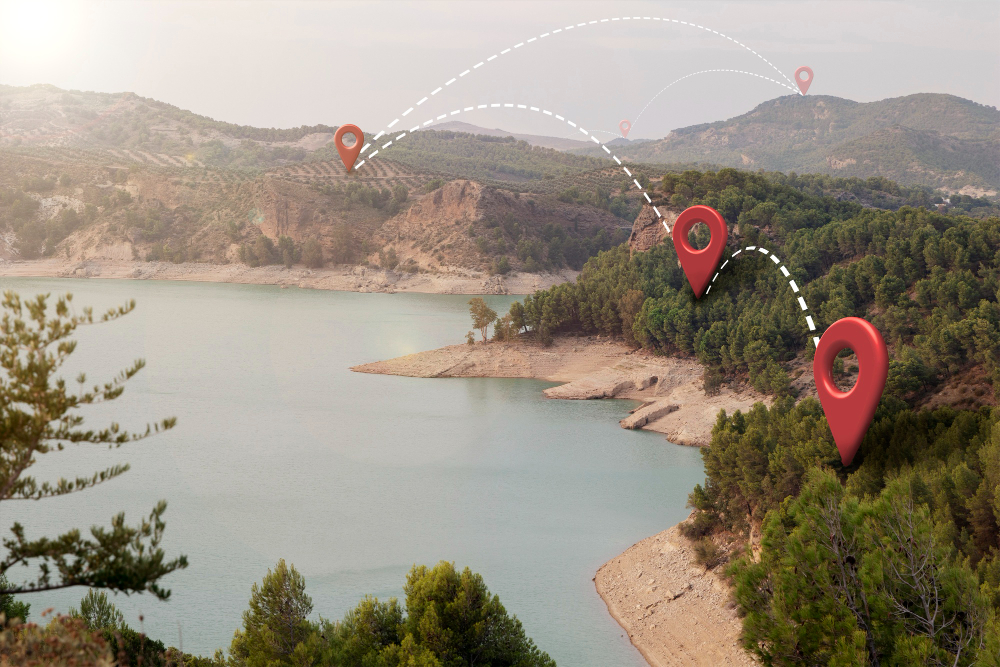
3. Renewable Energy Planning: Identifying optimal locations for solar, wind, and hydroelectric power. GIS analyzes spatial factors like terrain, land cover, and energy demand.
4. Disaster Risk Reduction: Mapping flood zones, landslide-prone areas, and storm surge impacts. GIS enables emergency responders to allocate resources effectively.
5. Climate-Smart Agriculture: Optimizing crop yields, water management, and soil conservation. GIS helps farmers adapt to changing climate conditions.

CHANGE
Begins with You.
GIS Tools and Technologies
GIS technology serves as a vital catalyst for climate change mitigation and adaptation efforts, spanning multiple industries and disciplines. By harnessing the power of geospatial analysis, organizations can develop data-driven strategies to address the complex challenges posed by climate change.
Advances in GIS technology enhance climate change research and policy:
1. Remote Sensing: Leveraging satellite and aerial imagery for land cover analysis and change detection.
2. Spatial Analysis: Uncovering patterns, trends, and correlations between climate variables.
3. Geospatial Data Visualization: Communicating complex data through interactive maps and dashboards.
4. Cloud-based GIS: Ensuring scalable, collaborative, and secure data management.
5. Machine Learning: Integrating GIS with ML(Machine Learning) algorithms for predictive modeling and climate forecasting.
Real-World Examples-GIS success stories
1. Coastal Resilience Planning: Miami’s sea-level rise mitigation efforts, using GIS to identify vulnerable areas.
2. Urban Heat Island Mitigation: Los Angeles’ green infrastructure initiatives, leveraging GIS for optimal placement.
3. Climate-Smart Agriculture: Optimizing crop yields in Africa, using GIS for precision agriculture.
4. Disaster Response: GIS-enabled emergency response during Hurricane Katrina, improving resource allocation.
5. Climate Change Research: The University of California’s GIS-based climate modeling, predicting future climate scenarios.
Conclusion
GIS technology plays a vital role in understanding and addressing climate change. By leveraging GIS applications, tools, and technologies, researchers, policymakers, and practitioners can develop effective strategies for climate resilience and sustainability.
As we strive for a better tomorrow, the fusion of Geographic Information Systems (GIS) with cutting-edge technologies like Artificial Intelligence (AI), Internet of Things (IoT), and big data analytics holds immense promise for tackling climate change. Collaborative efforts between governments, academia, and industries are essential for developing scalable, transferable, and impactful GIS solutions. You can read up more contents from here
References
2. National Oceanic and Atmospheric Administration (NOAA). (2022). Sea Level Rise Technical Report.
3. United Nations Environment Programme (UNEP). (2022). Global Climate Change Governance.