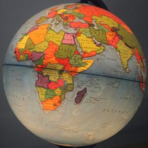
What is GIS?? – Geographic Information System is referred to as GIS. It serves as a framework for collecting, organizing, and interpreting geographic and spatial data. Spatial location—typically indicated by coordinates—serves as the primary index variable in GIS, which integrates a variety of data formats. Here are some crucial elements and applications of GIS:
Key Components of GIS:
- Hardware: The computers and other equipment needed to gather, store, and process geographic data.
- Software: Programs and programs that process geographic data, such as ArcGIS, QGIS, and Google Earth.
- Data: Geographic data, including maps, satellite imageries, and data from GPS devices.
- People: Experts in the creation, upkeep, and application of GIS systems, such as scientists, analysts, and cartographers.
- Methods: The processes and strategies applied to the analysis of spatial data in order to derive significant insights
Uses of GIS:
- Mapping: Making intricate maps for a range of uses, such as natural resource management, urban planning, and disaster relief.
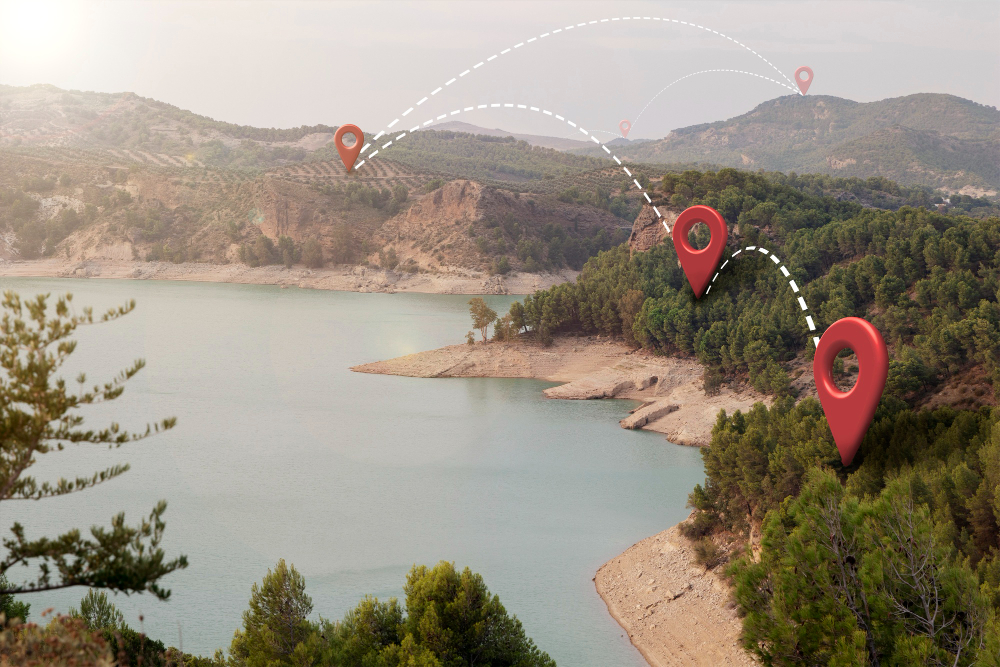
- Geographic Analysis: Examining the geographic connections between various data sets, such as figuring out where a new store should be situated in respect to traffic and demographic information.
- Remote sensing: the process of deciphering information from aerial photography and satellite pictures to track environmental changes like urban sprawl and deforestation.
- Navigation: offering services for route planning and navigation, which are frequently included into GPS gadgets and mapping software.
- Resource Management: Using geographic data on water bodies, forest cover, and mineral reserves, one may manage natural resources.
- Emergency Response: Coordinating rescue operations and charting affected regions to support disaster response activities.
You can read up more from the ESRI link here or read more of our content from here.