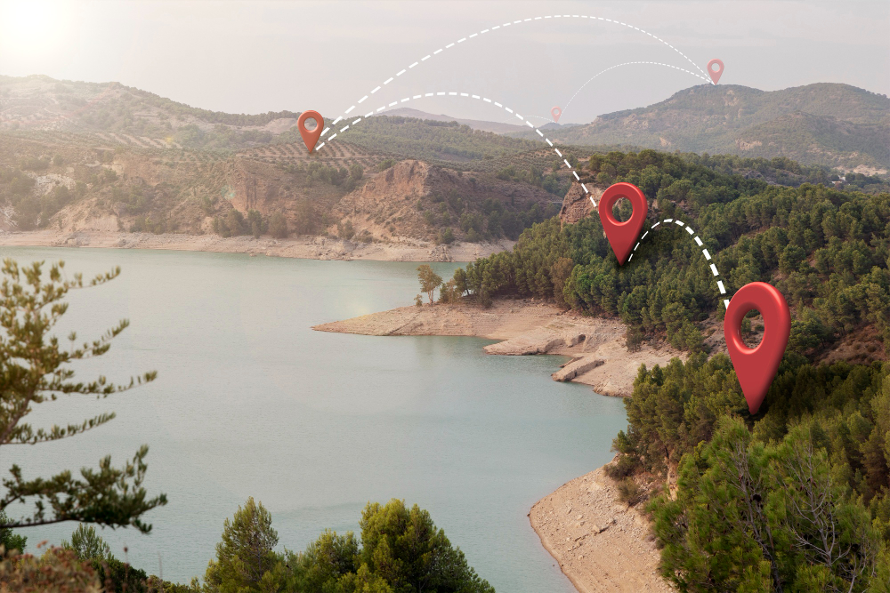

In an era where environmental monitoring, sustainable agriculture, and smart urban planning are more critical than ever, remote sensing indices have emerged as indispensable tools within Geographic Information Systems (GIS). By transforming raw satellite and aerial imagery into actionable insights, these indices unlock a deeper understanding of Earth’s dynamic landscapes.
At their core, remote sensing indices are sophisticated mathematical formulas that combine different spectral bands captured by sensors aboard satellites, drones, and aircraft to reveal hidden patterns and trends. Each index is carefully designed to amplify specific features of interest, whether it be the vigor of vegetation, the presence of water bodies, the expansion of urban areas, or the health of soil. This targeted approach allows scientists, policymakers, and industry professionals to monitor changes, detect anomalies, and make informed decisions with unprecedented precision.
The applications of these indices span a vast array of fields. Environmental scientists rely on them to track deforestation, assess drought conditions, and monitor ecosystem health. Agricultural experts use them to optimize crop yields, detect pest infestations, and manage irrigation efficiently. Urban planners leverage them to study land-use changes, map infrastructure growth, and plan sustainable cities. Even disaster response teams utilize these indices to assess damage from wildfires, floods, and other natural calamities.
This comprehensive guide delves into the most widely used remote sensing indices, breaking down their mathematical formulations, practical applications, and the critical roles they play in modern geospatial analysis. From the foundational Normalized Difference Vegetation Index (NDVI) to specialized indices for water detection, urban mapping, and burn severity assessment, we will explore how these tools are shaping our ability to understand and protect our planet.
What Are Remote Sensing Indices?
Remote sensing indices are mathematical combinations of spectral bands designed to enhance specific features in an image. By leveraging the unique reflectance properties of different surfaces (vegetation, water, soil, etc.), these indices help scientists and analysts detect changes, assess conditions, and make data-driven decisions.
Key Remote Sensing Indices and Their Applications
1. NDVI (Normalized Difference Vegetation Index)
The most widely used vegetation index that measures plant health by comparing near-infrared (NIR) and red light reflectance. Healthy vegetation strongly reflects NIR while absorbing red light for photosynthesis.
Formula: NDVI = (NIR – Red) / (NIR + Red)
Range: -1 to +1
2. EVI (Enhanced Vegetation Index)
An advanced vegetation index that improves upon NDVI by minimizing atmospheric distortions and soil background effects, making it particularly valuable in dense forest canopies and high-biomass areas.
Formula: EVI = 2.5 * (NIR – Red) / (NIR + 6 * Red – 7.5 * Blue + 1)
Range: -1 to +1
3. SAVI (Soil-Adjusted Vegetation Index)
Specifically designed to reduce soil brightness interference in vegetation analysis, crucial for studies in arid and semi-arid regions where bare soil is frequently visible.
Formula: SAVI = (NIR – Red) / (NIR + Red + L) * (1 + L)
Range: -1 to +1 (L is a soil brightness correction factor, typically 0.5)
4. NDWI (Normalized Difference Water Index)
Detects and monitors water bodies by exploiting the strong absorption of NIR by water and high reflectance of green light, useful for water resource management and drought assessment.
Formula: NDWI = (Green – NIR) / (Green + NIR)
Range: -1 to +1
5. MNDWI (Modified NDWI)
An improved water detection index that uses shortwave infrared (SWIR) instead of NIR to better distinguish water from urban features and vegetation, reducing false positives.
Formula: MNDWI = (Green – SWIR) / (Green + SWIR)
Range: -1 to +1
6. NDBI (Normalized Difference Built-up Index)
Specialized for identifying urban areas and human settlements by capitalizing on the high SWIR reflectance of built-up surfaces compared to natural landscapes.
Formula: NDBI = (SWIR – NIR) / (SWIR + NIR)
Range: -1 to +1
7. NDSI (Normalized Difference Snow Index)
Specifically designed for snow cover mapping by utilizing snow’s high reflectance in green wavelengths and strong absorption in SWIR bands.
Formula: NDSI = (Green – SWIR) / (Green + SWIR)
Range: -1 to +1
8. BAI (Burn Area Index)
A specialized index for mapping burned areas and assessing fire severity by targeting the charcoal and ash spectral signature after wildfires.
Formula: BAI = 1 / ((0.1 – Red)² + (0.06 – NIR)²)
Range: Higher values indicate burned areas
9. ARVI (Atmospherically Resistant Vegetation Index)
A robust vegetation index that incorporates blue band data to compensate for atmospheric scattering effects, particularly useful in polluted or hazy conditions.
Formula: BAI = 1 / ((0.1 – Red)² + (0.06 – NIR)²)
Range: Higher values indicate burned areas
10. LAI (Leaf Area Index)
A biophysical parameter estimating the total leaf surface area per ground area unit, critical for understanding canopy light interception and ecosystem productivity.
Formula: Derived from complex models using multiple bands
Range: 0 (bare ground) to 10 (dense canopy)
Why Are These Indices Important in GIS?
- Precision Agriculture: Farmers use NDVI, EVI, and SAVI to optimize irrigation, fertilization, and pest control.
- Environmental Monitoring: Indices like NDWI and NDSI track water resources and snowmelt patterns.
- Disaster Management: BAI and NDBI help assess wildfire damage and urban expansion.
- Climate Change Studies: Long-term index trends reveal shifts in vegetation, water availability, and land use.
Challenges
- Sensor Limitations: Different satellites (Landsat, Sentinel, MODIS) have varying spectral resolutions.
- Atmospheric Interference: Cloud cover and haze can distort index values.
- Seasonal Variations: Vegetation and water indices change with seasons, requiring temporal analysis.
Conclusion
Remote sensing indices have become indispensable tools in modern geospatial analysis, transforming how we monitor and manage Earth’s resources. By converting complex spectral data into actionable insights, these indices empower professionals across industries from precision agriculture and forestry to urban planning and disaster response to make data driven decisions with unprecedented accuracy.
The true power of these indices lies in their ability to reveal hidden patterns in our environment. Farmers use NDVI and EVI to detect crop stress before visible symptoms appear, while forest managers rely on SAVI and ARVI to track deforestation and ecosystem health. Water resource specialists apply NDWI and MNDWI to monitor droughts and map water bodies, and urban planners utilize NDBI to guide sustainable city growth. Meanwhile, disaster response teams depend on BAI and NDSI to assess wildfire damage and glacial changes.
As technology advances, so too do the applications of these indices. The integration of machine learning, high resolution satellite imagery, and drone based sensors is pushing the boundaries of what’s possible in environmental monitoring. These innovations are helping us address critical global challenges, from climate change adaptation to food security and natural disaster mitigation.
For professionals looking to deepen their understanding of these powerful tools, continuous learning is key. At Geoinfospot, we regularly publish indepth guides, case studies, and tutorials on remote sensing applications.
FAQ
1. What are remote sensing indices?
ANS: Remote sensing indices are mathematical formulas that combine different spectral bands from satellite or drone imagery to highlight specific features like vegetation, water, urban areas, or burned land.
2. Which index is best for vegetation monitoring?
ANS: NDVI (Normalized Difference Vegetation Index) is the most common, but EVI (Enhanced Vegetation Index) works better in dense forests, while SAVI (Soil Adjusted Vegetation Index) is ideal for arid regions.
3. How do I detect water bodies using remote sensing?
ANS: Use NDWI (Normalized Difference Water Index) for general water mapping, or MNDWI (Modified NDWI) to better distinguish water from urban areas.
4. Can these indices track urban expansion?
ANS: Yes, NDBI (Normalized Difference Built-up Index) specializes in identifying urban and built-up areas from satellite imagery.
5. Where can I learn more about applying these indices?
Explore practical guides and case studies on Geoinfospot, covering NDVI, EVI, NDWI, and more for agriculture, forestry, and urban planning.